Esri has just released a new version of ArcGIS Pro. Learn about its new capabilities.
Map Graphics
In ArcGIS Pro 2.6, you can now quickly and easily add map graphics. In this demonstration, you’ll hear how to enhance and style your maps with the add graphics tool – without the need to create a new feature class.
Parcel Data Management
Parcel data management in ArcGIS Pro 2.6 now includes the DynAdjust engine to perform Least Squares Adjustment. Hear how the Least Squares Adjustment tool simplifies the process of checking data consistency and improves spatial accuracy within the parcel fabric.
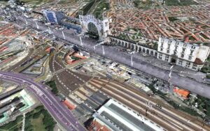
Autodesk Integration
ArcGIS Pro 2.6 enables engineers and GIS professionals to work more collaboratively and streamline their BIM workflows. Learn how GIS professionals can connect to and work with Autodesk design files in Pro.
Utility Network and Non-Spatial Objects
The Utility Network provides advanced network modeling, enhanced visualization, embedded analytics, and easier network access across the organization. Using the non-spatial objects capability, organizations can model their complex networks in more detail without the need to duplicate geometries.
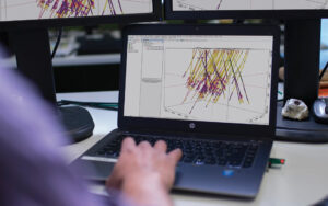
Spatial Analysis and Geoprocessing
Find and discover statistical patterns in space and time with the in ArcGIS Pro. Use the spider diagrams tool to create more powerful visualizations of origins and destinations.
LocateXT
ArcGIS LocateXT interconnects your GIS to the world of text documents, enabling you to find location information in unstructured text. Learn how this extension in Pro and Enterprise automates extraction of text from many different file formats, converting and standardizing in seconds what used to take hours.