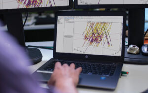
Hexagon LuciadRIA is web-based geospatial solution that allows users to go from 2D to 3D, using the same code and data. The platform has an enhanced API so you can code own applications connecting to other web services.
Robin Houtmeyers and Glenn Croes from Hexagon explain all the ins and outs of LuciadRIA platform in the following video.
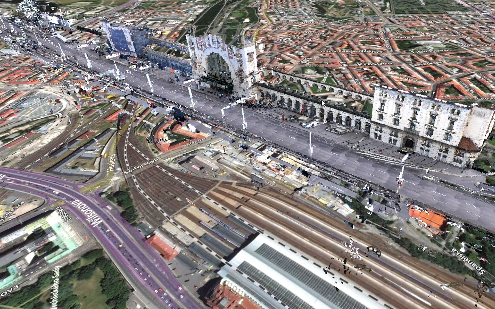
There are also several videos, showing various 3D data sets, e.g. for Prague, Czech Republic capital city.
- White “paper” model. Based on 3D SHP files. The shading and shadow effects of LuciadRIA make it show up very nicely.
- Point cloud of the train station. In LuciadRIA you can change the color scheme on the client side. Switching between RGB, Intensity and height based coloring.
- 3D Reality Mesh. Highly realistic 3D model of the city based on scans with Leica sensors.
- 3D Digital Twin. Complete digital 3D model of the city. Generated from the reality mesh into a LOD2 dataset showing buildings with detailed roofs and trees.
- Note that point clouds can be RGB colored using imagery of the same location with ERDAS Imagine